

The United States and India have launched NASA's first satellite, the ISRO Synthetic Aperture Radar mission (NISAR), into space, which will track almost imperceptible changes on the Earth's surface and can help in responding to natural disasters. This is reported by the American TV channel CNN.
The radar developed by NASA for use in space, thanks to advanced data processing technologies, allows you to see various details in high resolution. However, it also works like a conventional radar, using microwaves to detect distant surfaces and objects.
NISAR was launched from the Cosmodrome. Satish Dhawan on the southeast coast of India at 08:10 a.m. ET on Wednesday aboard the Geosynchronous Satellite Launch Vehicle, or GSLV-F16.
The satellite will orbit the Earth 14 times a day to scan almost the entire icy and dry surface of the planet twice in 12 days, while detecting changes in the Earth's surface with an accuracy of fractions of an inch. The data, which will be publicly available after it is collected and uploaded from satellite, will also be used to prepare for and respond to hurricanes, volcanic eruptions, floods, and wildfires.
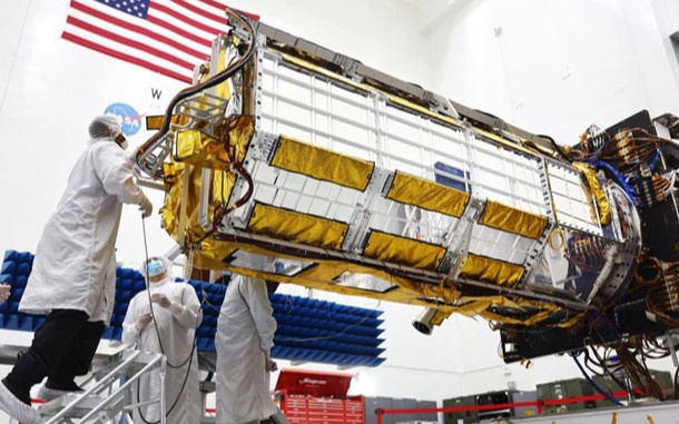
The spacecraft was developed by the US National Aeronautics and Space Administration (NASA) and the Indian Space Research Organization (ISRO).
The mission was first proposed in 2014, and on September 30, 2014, the two agencies signed partnership agreements for the NISAR mission. The hardware was assembled on two different continents and then integrated in India to complete the creation of the satellite. korrespondent.net.