
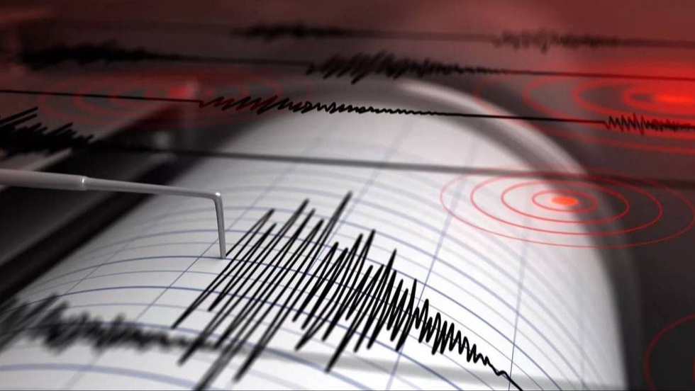
According to the Republican Center for Seismic Prognostic Monitoring, the coordinates of the earthquake are: 41.43 degrees north latitude; 68.98 degrees east longitude. Magnitude M = 4. Depth 10 km. The distance from the epicenter to Tashkent is 27 km in the north-west direction.
The strength of aftershocks on the territory of Uzbekistan:
- Zangiata district: 2-3 points, 21 km;
- Tashkent district: 2-3 points, 21 km;
- Almazar district: 2-3 points, 22 km;
- Uchtepa district: 2-3 points, 22 km;
- Shaikhantakhur district: 2-3 points, 25 km;
- Chilanzar district: 2-3 points, 25 km;
- Yunusabad district: 2 points, 27 km;
- Yakkasarai district: 2 points, 28 km;
- Mirabad district: 2 points, 29 km;
- Mirzo-Ulugbek district: 2 points, 31 km;
- Sergeli district: 2 points, 31 km;
- Yangikhaet district: 2 points, 34 km;
- Abadsky district: 2 points, 34 km;
- Yangiyul district: 2 points, 34 km.