
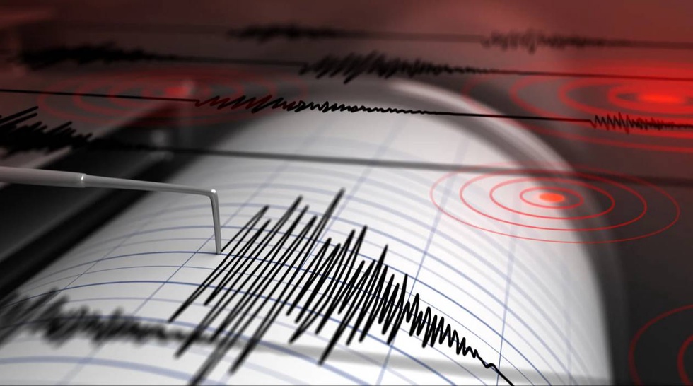
According to the Republican Center for Seismic Monitoring of the Ministry of Emergency Situations, the coordinates of the earthquake are 41.43 degrees’ north latitude; 69.16 degrees east longitude. Magnitude M = 3.6. Depth 10 km. The distance from the epicenter to Tashkent is 19 km in a northwesterly direction.
The strength of the tremors in Uzbekistan:
· Tashkent region: 3 points, 6 km.
· Almazar district: 3 points, 10 km.
· Shaikhantakhur district: 2-3 points, 15 km.
· Uchtepa district: 2-3 points, 16 km.
· Chilanzar district: 2-3 points, 17 km.
· Mirzo-Ulugbek district: 2-3 points, 18 km.
· Yakkasaray district: 2-3 points, 18 km.
· Mirabad district: 2 points, 19 km.
· Yunusabad district: 2 points, 19 km.
· Zangiata district: 2 points, 20 km.
· Yangiabad district: 2 points, 22 km.
· Sergeli district: 2 points, 23 km.
· Bektemir district: 2 points, 26 km.
· Yangihayot district: 2 points, 27 km.
· Kibray district: 2 points, 27 km.