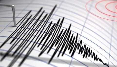

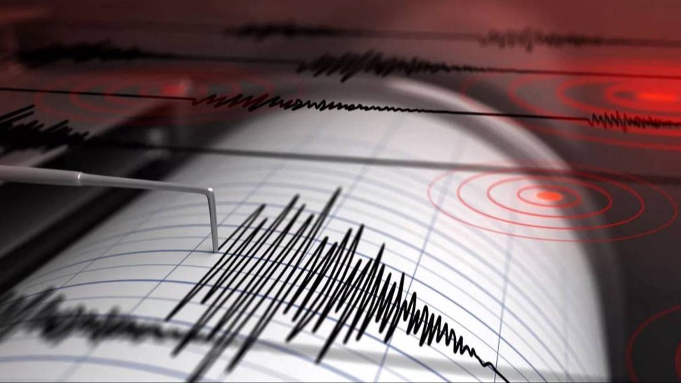
According to the Republican Center for Seismic Forecasting Monitoring of the Ministry of Emergency Situations, the coordinates of the earthquake are: 39.82 degrees’ north latitude; 71.39 degrees’ east longitude. Magnitude M =4.7. Depth 10 km. The distance from the epicenter to Tashkent is 244 km in a south-easterly direction.
The strength of tremors in Uzbekistan:
· Sokh district: 2-3 points, 37 km.
· Ferghana district: 2 points, 61 km.
· Rishtan district: 2 points, 62 km.
· Ferghana city: 2 points, 71 km.
· Kuvasay City: 2 points, 72 km.
· Altyaryk district: 2 points, 72 km.
· Uzbek district: 2 points, 73 km.
· Baghdad district: 2 points, 76 km.
· the city of Margilan: 2 points, 76 km.