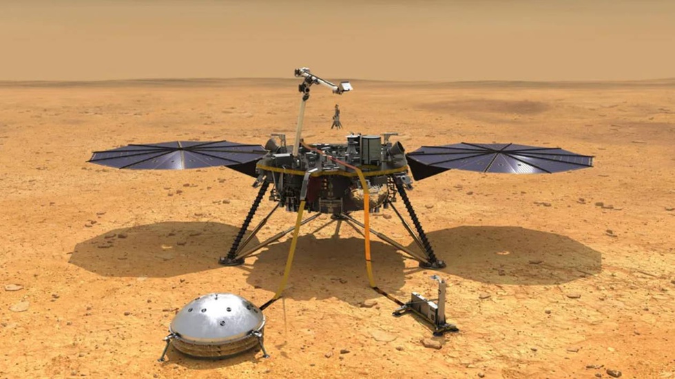
The researchers analyzed data on seismic activity recorded by the NASA Insight lander, and also used a mathematical model of rock physics, which is used to map underground aquifers and oil fields, writes lenta.ru.
The seismic activity recorded by Insight includes earthquakes, meteorite falls, and volcanic activity that created seismic waves that allowed exploration of the planet's interior. The Insight mission, which ended in 2022, gathered invaluable information about the structure of Mars, including data on the thickness of the crust, the depth of the core and the temperature of the mantle.
The researchers found that the volume of groundwater can cover the entire surface of Mars to a depth of 1 to 2 kilometers. This reservoir is located at a depth of 11.5 to 20 kilometers below the surface of the planet, in cracks and pores of igneous rock in the middle part of the Martian crust. Despite the significant volumes of water, its location makes it difficult to access for use in future Martian colonies.
A layer of igneous rock may contain more water than the volumes that supposedly filled the ancient Martian oceans. At the same time, the upper crust at a depth of about five kilometers does not contain water ice. This may be due to the fact that a significant part of the water that disappeared from the surface of Mars more than three billion years ago could have seeped into the deep layers of the crust.


